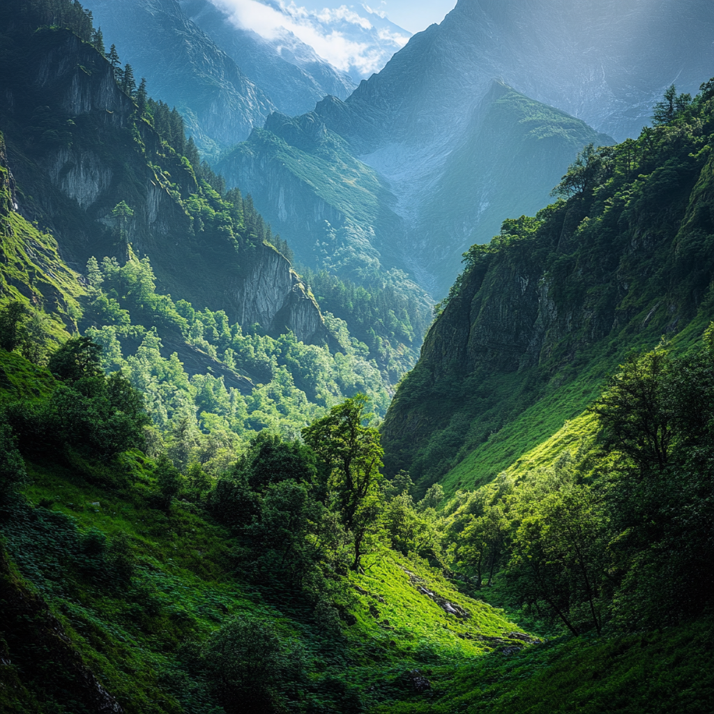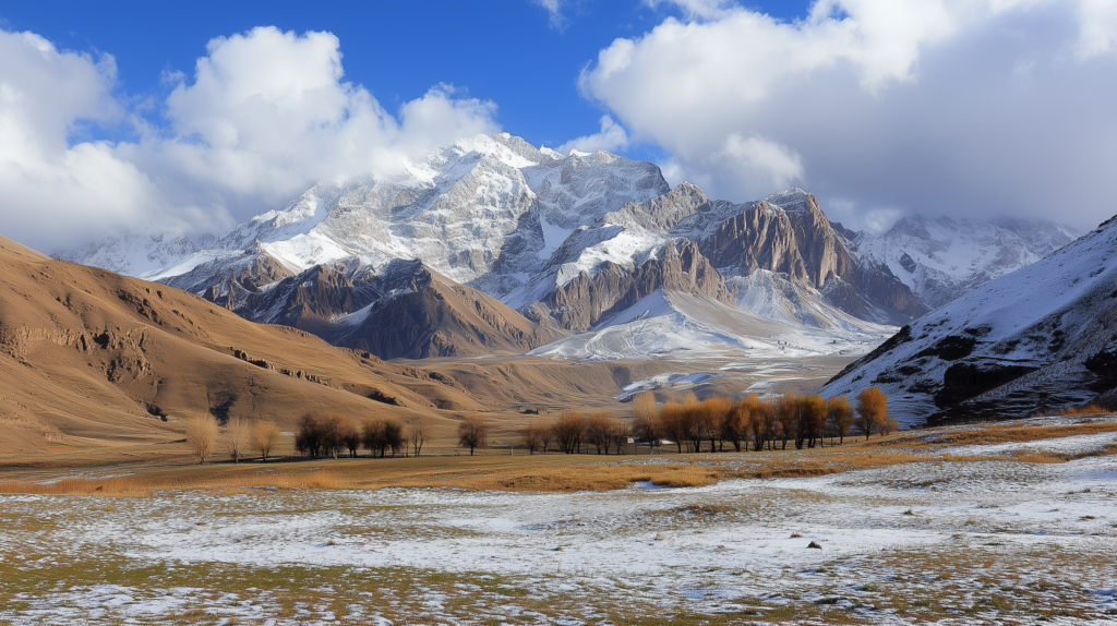
Kyrgyzstan is renowned for its majestic mountains and gorges, which are not only natural landmarks but also an integral part of the country’s cultural heritage. Here are some of the most famous mountains and gorges that attract tourists and climbers from around the world:
- Peak Pobeda (Victory Peak)
Victory Peak is one of the highest summits in the Tian Shan range and all of Kyrgyzstan, standing at 7,439 meters. It is one of the most challenging peaks to climb. Located on the border between Kyrgyzstan and China, it is a key destination for mountaineers. Its snowy slopes and harsh conditions make climbing it a true test of skill and endurance. - Sulyukta
Sulyukta is a majestic mountain in the central Tian Shan, rising to 4,783 meters. It is famed for its pristine nature and breathtaking views of the surrounding mountain ranges and glaciers. This peak attracts tourists and climbers, though ascending it requires thorough preparation. - Ala-Archa Gorge
Located just 40 kilometers from Bishkek, Kyrgyzstan’s capital, Ala-Archa Gorge is a national park and nature reserve. It is one of the most popular spots for tourists and climbers. Visitors can marvel at its diverse flora and fauna while enjoying stunning views of mountains and glaciers. - Son-Kul Gorge
Son-Kul is a high-altitude lake and gorge situated at around 3,000 meters. Famous for its lush pastures where nomadic tribes traditionally graze livestock, it is surrounded by mountains. This area is a major tourist attraction, offering visitors a chance to experience the natural beauty and nomadic culture of Kyrgyzstan. - Torugart Pass
Torugart Pass is one of the key transport routes connecting Kyrgyzstan with China. Located at an altitude of approximately 3,700 meters, this scenic and rugged mountain pass draws visitors with its breathtaking views and historical significance. - Kan-Bel Mountain
Kan-Bel Mountain, rising to 4,560 meters, is located in southeastern Kyrgyzstan. It is a popular destination for travelers and climbers due to its picturesque landscapes and unique flora. The mountain is an ideal spot for trekking and hiking adventures. - Jeti-Oguz Gorge
Jeti-Oguz Gorge, situated in the western part of the Issyk-Kul region, is famous for its red rock formations resembling dragon teeth and its stunning natural scenery. The gorge also attracts tourists with its numerous mineral springs and opportunities for outdoor activities. - Pamir Mountain
The Pamir Mountain, located on the border of Kyrgyzstan and Tajikistan, is known as the “Roof of the World.” With peaks exceeding 7,000 meters, it is one of the most challenging locations for climbers. The Pamir range combines unique natural beauty, historical landmarks, and a pivotal role in ancient civilizations. - Kungey Ala-Too
The Kungey Ala-Too Mountains are part of the Tian Shan range and stretch along the southern shore of Issyk-Kul Lake. This ridge is renowned for its cliffs, gorges, and glaciers, offering ample opportunities for climbing, trekking, and camping. - Sary-Mogol Mountain
Sary-Mogol is another prominent peak in southern Kyrgyzstan, located near the Fergana Valley. Standing at approximately 4,200 meters, it is a significant destination for those interested in mountaineering and hiking.
These mountains and gorges of Kyrgyzstan are true natural treasures, offering countless opportunities for adventure and exploration. Every corner of this mountainous country holds its own unique beauty and atmosphere, attracting travelers from all over the world.

